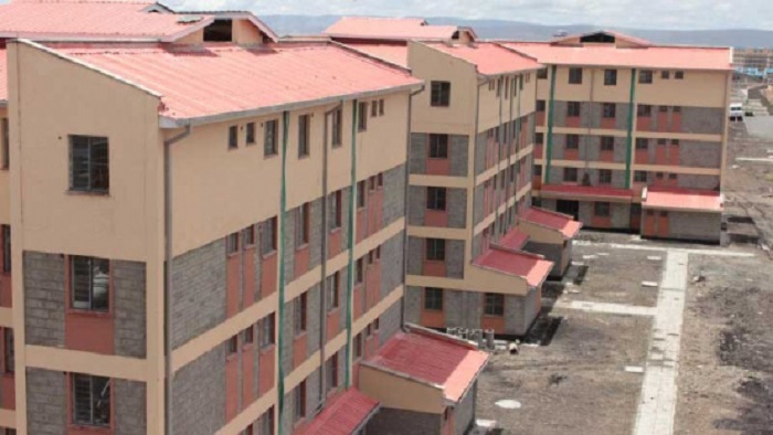
The success of Kenya’s national development agenda, now summed up as the ‘Big 4 Agenda’ (food security and nutrition; Enhancing manufacturing and agro processing; access to affordable housing; and universal health care), is heavily dependent on resources and sound planning.
The principal concern of any country in the world including Kenya is to define and better understand the interrelationship between the population, environment, natural resources and economic development, for purpose of realizing what is commonly known as sustainable development.
The sustainable development requires proper land management and it is in this regard that we see Regional Centre For Mapping Of Resources for Development (RCMRD) ‘s core mission perfectly resonating with what we consider foundational imperatives to member states development agenda.
As a country, we are steadily building our capacities in land management and geospatial fields but we still have many issues to address.
The government of Kenya, through the Ministry of Lands and Physical Planning, recently launched the National Land Use Policy (NLUP) that has sent a clear message to all stakeholders about the need to balance human settlement, food security needs with responsible exploitation of our environment.
The Ministry is also establishing a national land information system for management of land rights. Notably, the geodetic reference frame (KENREF) has been established and the installation of the Continuously Operation Reference Stations (CORS) RTK Network is a great stride towards modernization of our operations.
It is on this note that I would like to express our appreciation for the support received from RCMRD over the past years, including supply of imagery and maps to our titling programme, development of various tools supporting the agriculture sector, as well as various training undertakings to professionals and government staff drawn from ministries and agencies that utilize geo information on a regular basis.
RCMRD is a key partner in the provision of geospatial data and tools to guide the development of County Spatial Plans, which will inform sustainable utilization of land at the devolved units, and therefore align land use plans along with manufacturing and housing sectors.
Already, the Ministry of Agriculture is relying heavily on RCMRD to design the National Crop Monitor, a tool that uses satellite data and GIS to provide up-to-date information on crop performance and expected yields. In addition, there is enormous potential in the use of GIS and statistics as it has been depicted from Kenya’s recently concluded census that incorporated geospatial information and population data that will guide our country going forward.
I recognize that the United Nations Economic Commission of Africa (UNECA)continues to support the Centre to achieve its mission. As you all know, UNECA was instrumental in the Centre’s establishment and it is my hope that as the Centre continues to implement the new strategic plan, the management and staff of the Centre will continue to tap into the wisdom and advice of their ‘parent’, UNECA.
Source: africasciencenews


